St.Annes Beach - Too much sand!
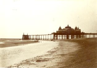
The new shipping channel to Preston resulted in
silting up of the old North Channel which passed the jetty of St.Annes Pier. By the time this photo
was taken in 1918 the channel had almost disappeared.
Between 1910 & 1930 the level of sand on
St.Annes beach rose by over 20 feet. Since then, it is only on very high tides that the water
covers the foreshore.
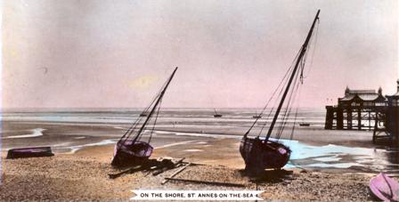
When this photo was taken in 1910 there was a considerable drop from
the pebble ridge on the foreshore onto the beach.
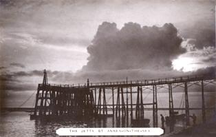
The jetty, St.Annes Pier, about 1910 - three storeys above the
sand.
The rise in the sand level is most evident at the
jetty of St.Annes Pier. Only one storey of the jetty can now be seen but there were originally
three storeys and a deep channel passed in front, suitable for steamboats which took passengers to
Lytham, Southport & Blackpool.
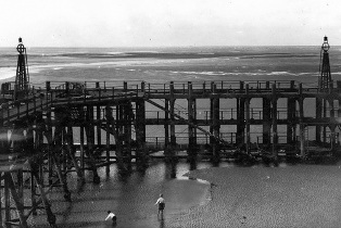
The jetty, St.Annes Pier, about 1926 - two storeys above the
sand.
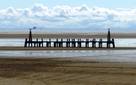
The jetty, St.Annes Pier, in 2009 with just one storey visible above
the sand.
|