Lytham St.Annes Coat of Arms

 
amounderness.co.uk
Lytham St.Annes, Lancashire, England


Rossall Old Ordnance Survey Map 1909

Rossall - Old Ordnance Survey Map 1909

 Lancashire Sheet 43.05; intro by Alan Godfrey

Map
Publisher: Alan Godfrey Maps
(20 Oct 2006)
ISBN-10: 1841519480
ISBN-13: 978-1841519487
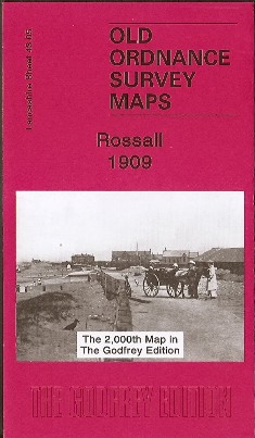
2006 Rossall near Fleetwood Old Ordnance Survey Map 1909  

This detailed map is double-sided for maximum coverage. The main map covers the area east of Rossall, from Fleetwood Farm eastward to Fleetwood Salt Works and the Ammonia Soda Works, both owned by the United Alkali Co and later part of ICI.

Though this is a largely empty landscape, features include Burn Hall, Burn Naze Halt - a platform-less station opened in about 1908, the Preston & Wyre line plus the old direct line to Fleetwood (by 1909 called Burn Naze Siding). On the reverse is adjacent sheet 42.08 which covers Rossall School and also the northern part of Cleveleys.

The map links up with Lancashire sheet 43.09 Thornton Cleveleys to the south.


 The Alan Godfrey Series of Old Ordnance Survey Maps.

Fleetwood Old Ordnance Survey Map 1910 (published 1996)
Rossall near Fleetwood Old Ordnance Survey Map 1909 (published 2006)
Thornton Cleveleys Old Ordnance Survey Map 1910 (published 2005)
Poulton le Fylde Old Ordnance Survey Map 1910 (published 1989)
Bispham and Norbreck Old Ordnance Survey Map 1909 (published 2009)
Blackpool North Shore Old Ordnance Survey Map 1910-1938 (published 2006)
Blackpool (North Pier & Town Centre) Old Ordnance Survey Map 1910 (published 2006)
Blackpool North Pier & Town Centre Old Ordnance Survey Map 1932 OUT OF PRINT (published 1988)
Blackpool Central Pier area Old Ordnance Survey Map 1909 (published 2006)
Blackpool South Old Ordnance Survey Map 1909 (published 1999)
St Annes-on the-Sea Old Ordnance Survey Map 1909 (published 1998)
Lytham Old Ordnance Survey Map 1908 (published 1997)
Lytham Hall Park Old Ordnance Survey Map 1908 (published 1998)


   Back to top     |      Print this page   |     Bookmark this page